map projections
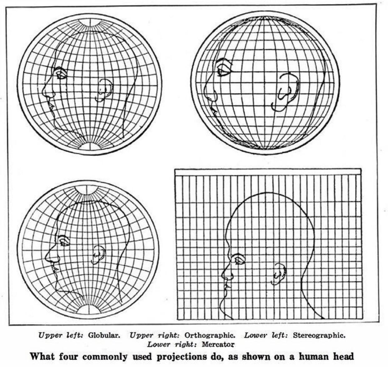
Map projections are representations of the Earth on a flat surface. Due to Earth's spherical shape, all map projections suffer some form of distortion, which can be shown visually using Tissot’s Indicatrix, where local distortion is represented by rows of ellipses on parallels.

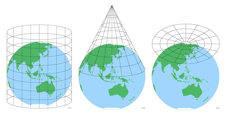
The major way map projections differ is the shape of the surface they have been projected on. The major surface types are cylindical, conic, and azimuthal, but there are also other surface types such as pseudocylindrical, pseudoconic, & polyhedral.